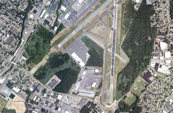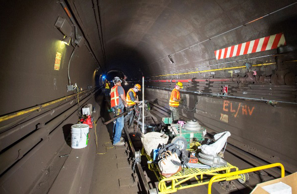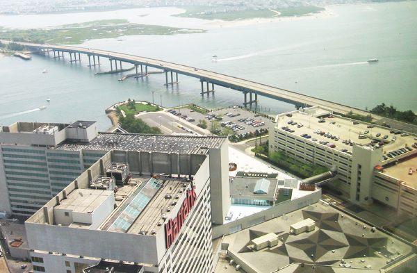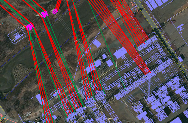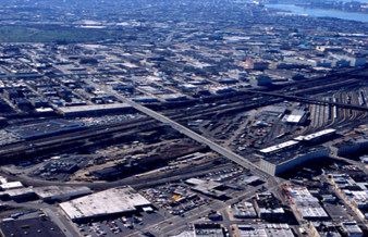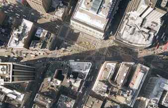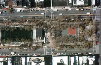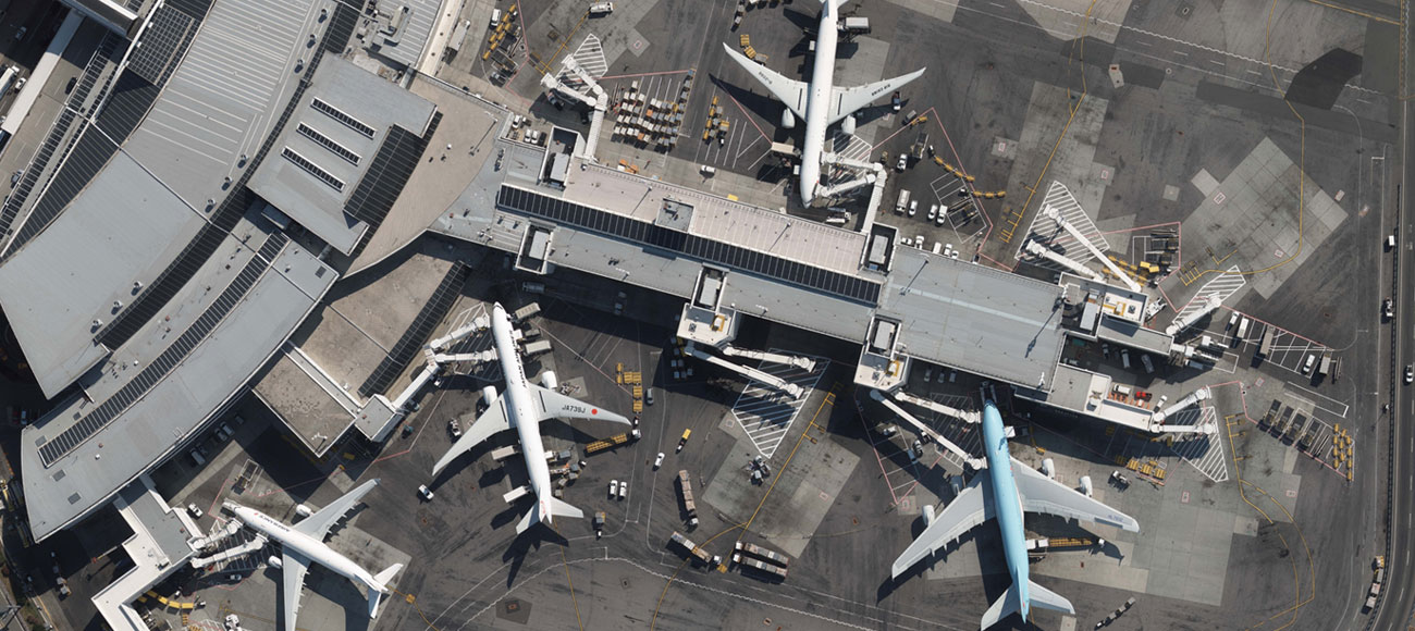
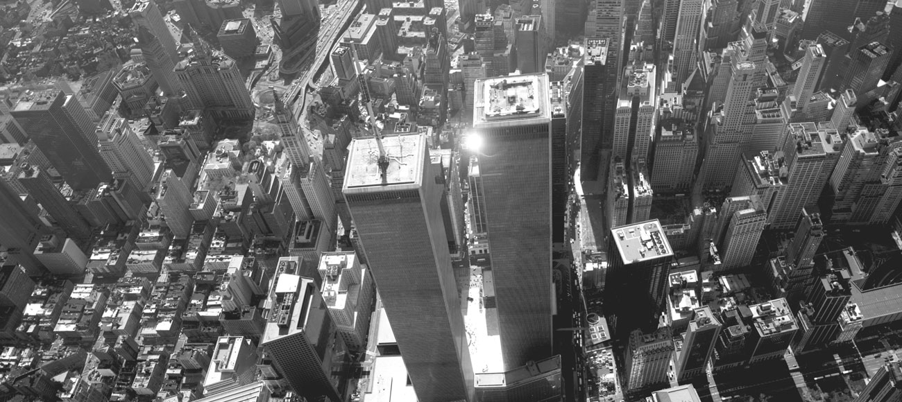
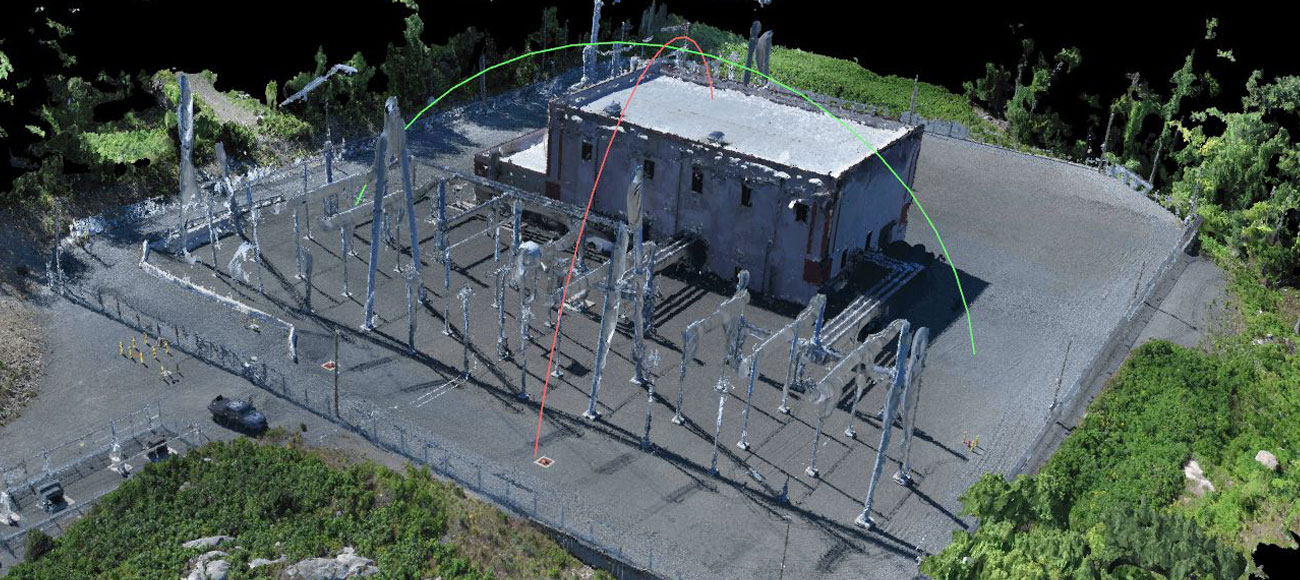
Robinson Aerial Surveys, Inc. (RAS) has been providing a comprehensive range of professional services since 1936. RAS has its own photographic laboratory, digital and analytical mapping systems, and CADD platform making it a fully integrated mapping facility.
Additionally, RAS is certified as DBE / MBE / SBE in New Jersey, New York and Pennsylvania.Over the years we have worked on over 20,000 projects for major clients.

Our commitment to creating accurate mapping products delivered on schedule and within budget has been the foundation of our success for over 80 years